
Theodore Roosevelt NP (SOUTH)
Đánh giá
Feb 21, 2019Cập nhật mới nhất
3.0Phiên bản
Cách cài đặt tệp .IPA
Chia sẻ
Về Theodore Roosevelt NP (SOUTH)
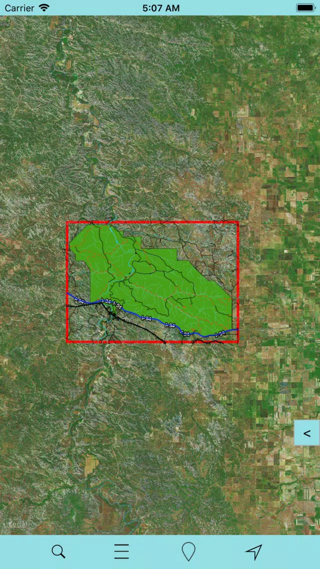
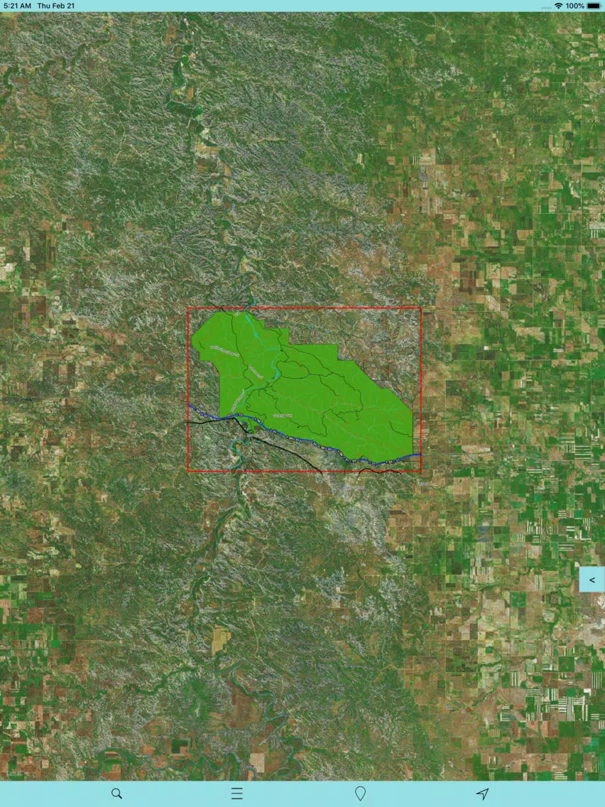
THIS MAP IS SOUTH UNIT OF THEODORE ROOSEVELT NATIONAL PARK SITUATED IN BILLINGS COUNTY, NORTH DAKOTA.
THE ALL NEW ADVANCED NATIONAL PARK MAPS ARE FOR HIKERS, CAMPERS, ADVENTURE SEEKERS, NATURE LOVERS COMBINED FOR ALL RECREATIONAL ACTIVITIES!
NOW COMPATIBLE WITH IPHONE, IPHONE X,XS,XR,XS MAX & IPAD PRO 11 INCH & 12.9 (3rd GEN.)!
NEW MAPS – FAST AND EASY PARK MAP OVERLAY!
HAVE FUN ALL THE TIME WITHOUT INTERNET CONNECTION!
NATIONAL PARK OFFLINE MAP COMPRISES ALL THE PARK POI & TRAILS INFORMATION COLLECTED FROM THE NATIONAL PARK SERVICE AND RELEVANT OPEN SOURCES.
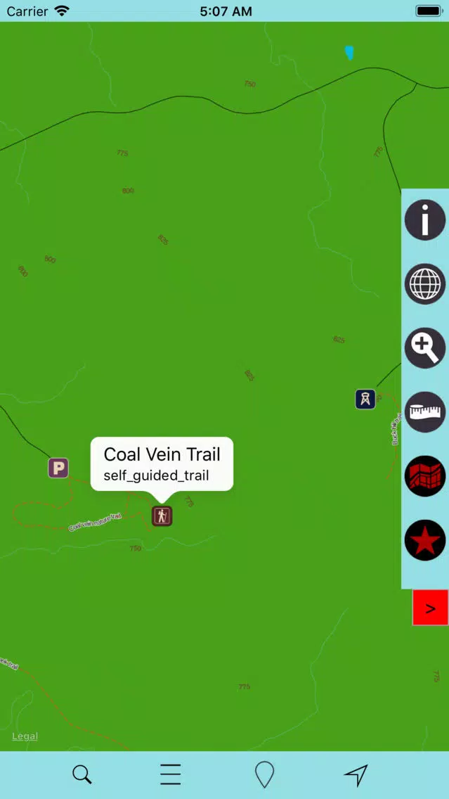
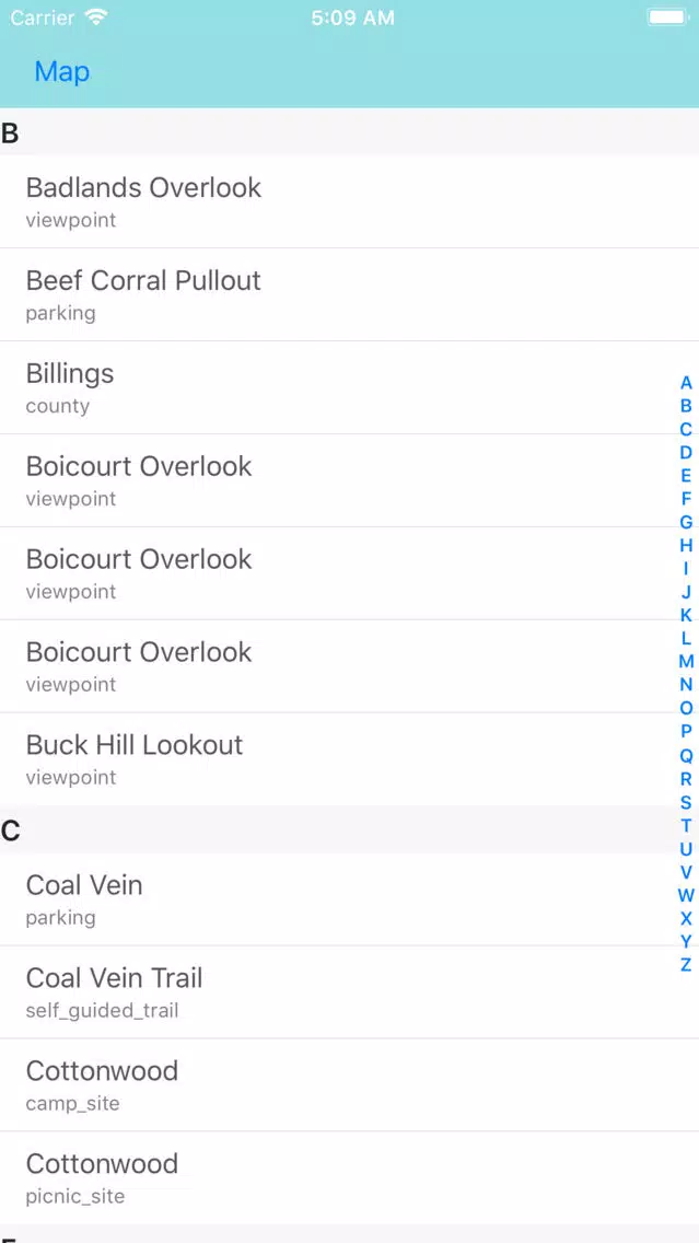
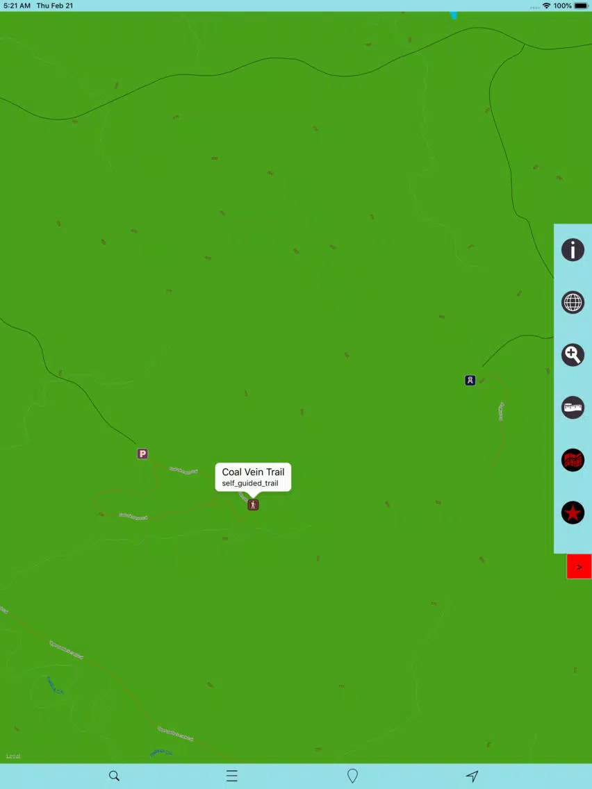
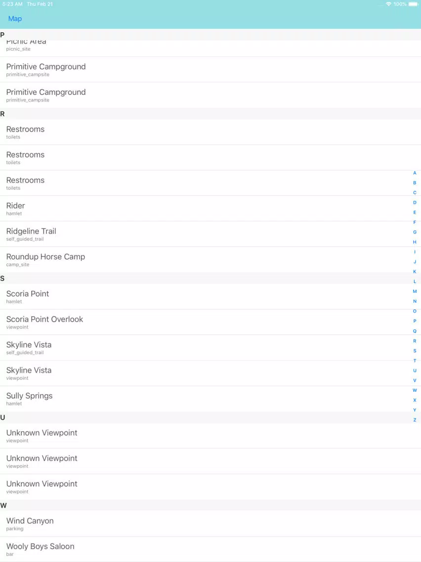
MAP CONTAINS ALL TYPES OF TRAILS, ATTRACTIONS, CAMPGROUNDS, FOOD POINTS, VISITOR CENTRE, PICNIC AREAS, PARKING AREAS, DRINKING WATER, RANGER STATION AND ALL POINT OF INTERESTS AVAILABLE WITHIN THE PARK COVERAGE.
MAP DATA:
INCLUDES ALL LAKES, RIVERS, STREAMS, TRAILS!
ELEVATION CONTOURS WITH 25 METER INTERVAL!
ALL ROADS AND RAILWAYS FROM TIGER!
ALL PARK BOUNDARIES ARE FROM NATIONAL PARK SERVICE!
MAP FEATURES:
GPS FEATURE – SHOWS HEADING AND DIRECTION!
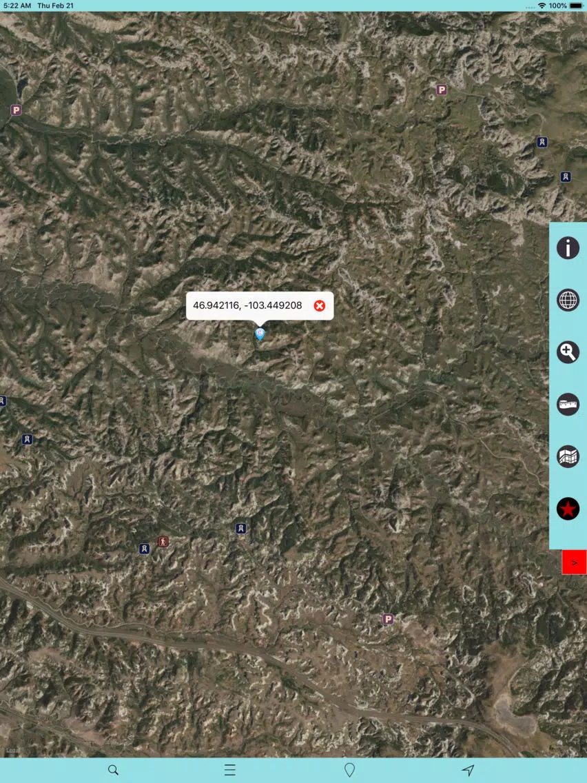
OFFLINE CHART OVERLAY DISPLAY, USE THEM AS LONG AS YOU HIKE, BIKE, WALK, CLIMB OR DO ANY ACTIVITY WITHIN THE PARK!
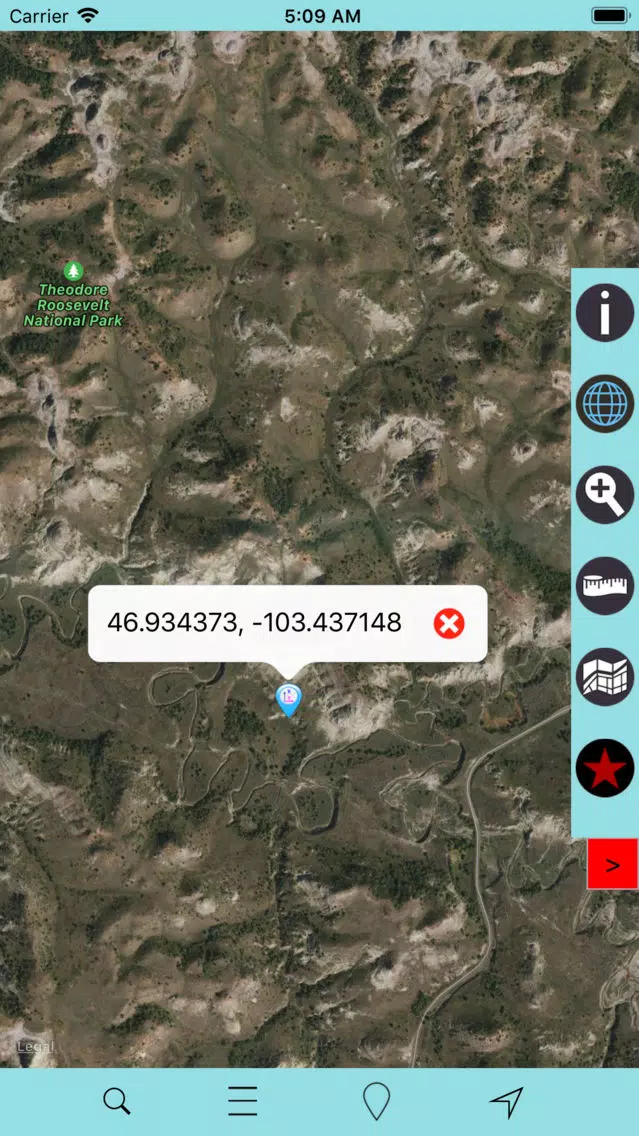
HIDE OR SHOW CHART OVERLAY TO SEE DIFFERENCE IN ARIEL OR OTHER VIEWS!
HIDE OR SHOW PARK POINT OF INTERESTS!
INSERT UN-LIMITED FAVOURITE MARKERS ON MAP!
ADD 3 PHOTOS TO MARKERS WITH EMAIL AS KMZ OPTION!
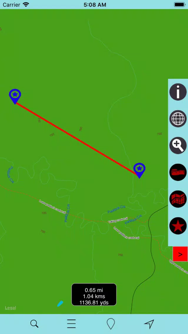
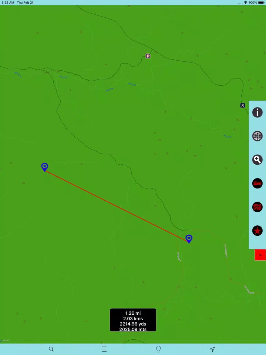
FIND DISTANCE BETWEEN ANY 2 POINTS ON MAP!
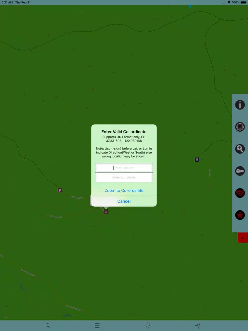
SEARCH LOCAL PLACES OR POINTS (works online)!
SET MAP TYPES CLICKING SINGLE BUTTON!
MAP USER INFORMATION!
THIS APP IS MOST ADVANCED WITH ALL THE NECESSARY TOOLS FOR EASY OFFLINE NAVIGATION. OVERLAY DISPLAY MANAGEMENT ON ALL MAP MODES EITHER ONLINE/OFFLINE IS MORE EASIER FOR HASSLE FREE PARK TOUR. AS THERE WILL BE NO INTERNET IN NATIONAL PARKS, THE OFFLINE CHART MODE IS FASTER AND CONVENIENT FOR UNINTERRUPTED NAVIGATION.
NOTE: All data on map are embedded to match the exact location of features displayed on NPS & reference sources but there may be some difference between the positions of actual objects.
Disclaimer: National Park Offline Map and Points presented are for information and reference purposes only and not for navigation.
We are experts in GIS & IOS Apps development and strive to provide the best products to the end users. Any suggestions from the users of this product are welcome to make the app more useful.
HAPPY NATIONAL PARK RECREATION ALL THE TIME!
Ảnh chụp màn hình của Theodore Roosevelt NP (SOUTH)
Ảnh chụp màn hình của Theodore Roosevelt NP (SOUTH) iPad
Đề xuất của biên tập viên
 Canva: AI Photo & Video Editor
 Proton VPN: Fast & Secure
 Booking.com: Hotels & Travel
 Too Good To Go: End Food Waste
 Waze Navigation & Live Traffic
 Stellarium Mobile - Star Map
 Ticketmaster-Buy, Sell Tickets
 Bolt: Request a Ride
 Life360: Find Friends & Family
 GetYourGuide: Travel & Tickets
 Sky Guide
 Doctolib - Your health partner
Ứng dụng Tương tự Theodore Roosevelt NP (SOUTH)
 Theodore Roosevelt NP (SOUTH)
 Theodore Roosevelt National Park GPS Map Navigator
 Theodore Roosevelt - N.Park
 Theodore Roosevelt National Park Travel Guide
 Theodore Roosevelt NP Guide
 Molecules by Theodore Gray
 The Elements by Theodore Gray
 DS Yota and Theodore Chaftis
 Saint Theodore Parish
 Theodore Judah Elementary
 Theodore Mathmate
 Theodore The Talking Cat English Stickers
Ứng dụng bởi Vishwam B
 Columbia River Boating (OR,WA)
 Coordinate Convertor Pro HD
 KML & KMZ Files Viewer PRO
 Top City Maps of the World
 Redwood National Park – GPS
 Mesa Verde National Park, CO
 Death Valley National Park GPS
 Big Bend National Park Offline
 White Mountain National F. Pro
 Wellington (New Zealand) GPS
 VITI LEVU ISLAND (FIJI) – Travel Offline Navigator
 US Virgin Islands - Marine GPS
Theodore Roosevelt NP (SOUTH) FAQ
Làm thế nào để tải Theodore Roosevelt NP (SOUTH) từ PGYER IPA HUB?
Ứng dụng Theodore Roosevelt NP (SOUTH) trên PGYER IPA HUB có miễn phí không?
Tôi cần tài khoản để tải Theodore Roosevelt NP (SOUTH) từ PGYER IPA HUB không?
Làm thế nào để báo cáo vấn đề với Theodore Roosevelt NP (SOUTH) trên PGYER IPA HUB?
Bạn có thấy thông tin này hữu ích không
Có
Không
Phổ biến nhất

ChatGPTIntroducing ChatGPT for iOS: OpenAI’s latest advancements at your fingertips.
This official app is f

Google GeminiThe Google Gemini app is an AI assistant that can help supercharge your creativity and productivity.

Claude by AnthropicGet free access to the newly upgraded Claude 3.5 Sonnet – Anthropic's most advanced model yet. Wheth

GoogleDownload the Google app to stay in the know about things that matter to you. Try AI Overviews, find

CapCut - Video EditorCapCut is a free all-in-one video editing app that helps you create incredible videos.
「Easy to use」

Shop: All your favorite brandsElevate every shopping moment
Shop, track, and explore the latest trends in an all-in-one shopping

Google MapsNavigate your world faster and easier with Google Maps. Over 220 countries and territories mapped an

Uber - Request a rideJoin the millions of riders who trust Uber for their everyday travel needs. Whether you’re running a

ThreadsSay more with Threads — Instagram’s text-based conversation app.
Threads is where communities come t

Gmail - Email by GoogleThe official Gmail app brings the best of Gmail to your iPhone or iPad with robust security, real-ti

TikTokTikTok is THE destination for mobile videos. On TikTok, short-form videos are exciting, spontaneous,

WhatsApp MessengerWhatsApp from Meta is a FREE messaging and video calling app. It’s used by over 2B people in more th

InstagramLittle moments lead to big friendships. Share yours on Instagram.
— From Meta
Connect with friends,

Netflix Game ControllerPlay games on your TV with the Netflix Game Controller.
This app connects to your TV and allows you

AirbnbTHE FASTEST, EASIEST WAY TO AIRBNB
Find inspiration, plan a trip with your group, book it, and go. Y

Telegram MessengerPure instant messaging — simple, fast, secure, and synced across all your devices. One of the top 5

Spotify - Music and PodcastsWith the Spotify music and podcast app, you can play millions of songs, albums and original podcasts

DramawaveDramawave - Stream Endless Drama Shorts, Anytime, Anywhere
Welcome to Dramawave the ultimate destina

Whatnot - Live Video ShoppingWhatnot is a social marketplace where you can discover some of your favorite products like sports ca

Google ChromeDownload the new Google Chrome for your iPhone and iPad. Now more simple, secure and faster than eve

FacebookWhere real people propel your curiosity. Whether you’re thrifting gear, showing a reel to that group

XThe X app is the trusted global digital town square for everyone.
With X, you can:
Post content for

Indeed Job SearchDiscover your next job opportunity on Indeed, the free job search app designed to connect you with b

Duolingo - Language LessonsLearn a new language with the world’s most-downloaded education app! Duolingo is the fun, free app f